

Wet winter means big spring snow packs
This item is available in full to subscribers.
To continue reading, you will need to either log in to your subscriber account, or purchase a new subscription.
If you are a current print subscriber, you can set up a free website account and connect your subscription to it by clicking here.
If you are a digital subscriber with an active, online-only subscription then you already have an account here. Just reset your password if you've not yet logged in to your account on this new site.
Otherwise, click here to view your options for subscribing.
Please log in to continue |
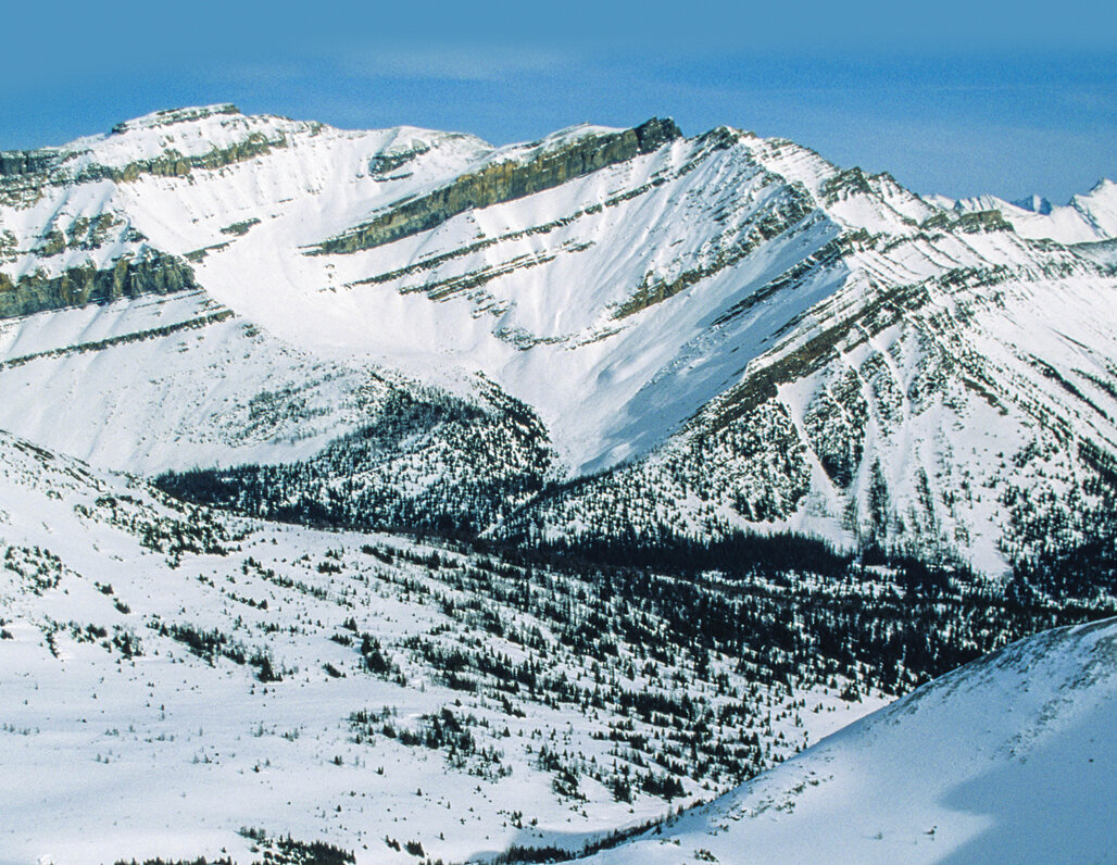
As snow surveys wind down for this year, area-wide snow packs’ water equivalents are way high for this time of the year. As of May 1, area-wide snow packs were 159 percent of median in the Snake River Drainage Basin.
Last year’s snow packs were only 81 percent of median as a whole. Snow packs in the Greys River Sub Drainage were all very high with the Spring Creek Divide’s Snotel Site showing 183 percent of median for this time of the year.
Snow packs in the Salt River Sub Drainage Basin ranged from a high at the Cottonwood Creek Snotel Site at 196 percent of median to a low at the Grover Park Divide manual snow course, which had melted out. As of April 1, the Greys River was predicted to flow 169 percent of average.
The Slat River was predicted to flow 166 percent of average. The Palisades Reservoir was about 33 percent full. May 1st predictions should be coming out soon.
As of May 1, the Upper Bear River Drainage Basin’s snow packs, as a whole, were 170 percent of median. Last year’s snow packs were only 86 percent of normal. Snow packs in the Smiths Fork River Sub Drainage Basin ranged from a high at the Salt River Snotel Site at 229 percent of median to a low at the Big Park manual snow course at 176 percent of median.
The head of the Bear River snow courses ranged from a high at the Hayden Fork Snotel Site at 169 percent of median to a low at Lily Lake Snotel Site at 133 percent of median. As of April 1, the Bear River above the Woodruff narrows Reservoir was predicted to flow 184 percent of average. The Smiths fork River was predicted to flow 188 percent of average. The Woodruff Narrows Reservoir was about 85 per full.
As of May 1, the Lower Green River Drainage Basin’s snow packs, as a whole, were 182 percent of median. Last year’s snow packs were 122 percent of median. The Hams Fork River’s Sub Drainage Basin’s snow packs ranged from a high at the Hams Fork Snotel Site at 352 percent of median, which should be melted out at this time of the year, to a low at the Indian Creek Snotel Site at 193 percent of median.
The Hams Fork River, as of April 1, below Pole Creek was predicted to flow 228 percent of average. The Viva Naughton Reservoir, as of May 1, was about 41 percent full.
It has been an exceptional snow fall year compared to the past 35 years of records. This year is somewhat similar to the 1986, 1997, and 2011 water years. It will be hard to tell for sure how the snow packs will melt this spring, but it is certain, high river flows will come as soon as it warms up.
Currently, the high and mid elevation snow packs have not started to melt much at all. The low elevation snow packs are melting out, but at a slower pace than expected.
The big concern for severe flooding would be if all the snow packs started to melt out at once due to warm temperatures and rain. Preparations for flooding need to be to initiated just to be on the safe side.
This ends the snow survey news articles for this year. Individuals wanting more snow pack/water forecast information may contact the Lincoln Conservation District (LCD) Field Office at (307) 279-3256 or the Wyoming State Engineer’s Office in Cokeville at (307) 279-3441.


