
The past month of March, snowpacks’ Snow Water Equivalent (SWE) continued to gain in water content. A lot of the areawide snowpacks’ SWEs were 10% to 30% above median. Many of the Upper …
This item is available in full to subscribers.
To continue reading, you will need to either log in to your subscriber account, below, or purchase a new subscription.
Please log in to continue |
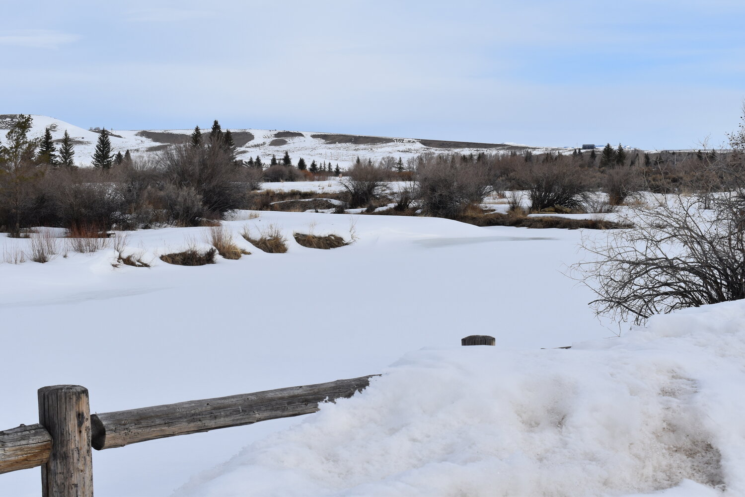
The past month of March, snowpacks’ Snow Water Equivalent (SWE) continued to gain in water content. A lot of the areawide snowpacks’ SWEs were 10% to 30% above median. Many of the Upper Green River Basin’s snowpacks’ SWEs were only in the mid 80% of median. It has been a good water year so far, especially in southern Lincoln County.
As of April 1, the Snake River Basins’ SWEs, as a whole, were a 100% of median. Last year’s snowpacks’ SWEs were 114% of median. Snowpacks in the Salt and Greys River Drainage Basins have slowly been improving over the last couple of months.
The lower elevation snow courses in the Salt River Drainage Basin picked up some good moisture events which really elevated their SWE above median. The Salt River Drainage Basins’ SWEs currently ranged from a high at the Grover Park Divide Manual Snow Course at 131% of normal to a low at the Cottonwood Creek Snotel Site at 99% of median.
The Greys River Drainage Basin’s snowpacks’ SWEs ranged from a high at the Blind Bull Summit Snotel Site at 100% of median to a low at the Spring Creek Divide Snotel Site at 95% of median.
Water flow predictions in both the Salt River and Greys River Drainage Basins improved. Most probable water flow predictions for the Greys River, as of March1st, were estimated to be around 91% of median. The Salt River near Etna most probable water flow predictions were estimated to be around 102% of median. Jackson Lake, as of March 1, was 72% of capacity.
The Upper Bear River Basin’s snowpacks’ SWEs, as a whole for April 1, were 121% of median. Last year’s snowpacks’ SWEs were 149% of median, approaching record levels. The snowpacks in the Cokeville area ranged from a high at the Salt River Summit Snotel Site at 120% of median to a low at the Big Park Manual Snow Course at 113% of median.
The head of the Bear River’s snowpacks’ SWEs around Evanston ranged from a high at the Trial Lake Snotel Site at 133% of median to a low at the Monte Cristo Snotel Site at 113% of median.
As of March 1, the most probable water prediction for the Bear River near Woodruff, Utah, was estimated to be around 130% of median. The Smiths Fork River, near Border, most probable water flow prediction was estimated to be around 100% of median.
The Woodruff Narrows Reservoir, as of March 1, was 85% of capacity.
The Lower Green River Basin’s snowpacks SWE, as a whole for April 1, was 119% of median. Last year’s median was 137% of median. The snowpacks’ SWEs in the Upper Hams Fork River Drainage Basin ranged from a high at Kelley Ranger Station Snotel Site at 118% of median to a low at the Indian Creek Snotel Site at 102% of median.
As of March 1, the Hams Fork River’s most probable flow prediction below Viva Naughton Reservoir was estimated to be around 96% of median.
As of March 1, the Viva Naughton Reservoir was at 82% of capacity.
The past month of March’s moisture events kept snowpack levels, for the most part, above median. Usually, the snowpack levels start to fall off during the month of April due to melting. If current moisture trends continue to occur as in the past few months this coming water year should be very good.
Individuals who want more snowpack/water forecast information may contact the Lincoln Conservation District (LCD) Field Office at (307) 279-3256 or the Wyoming State Engineer’s Office in Cokeville at (307) 279-3441.


